Autoplay
Wo ist das in OpenStreetMap?Wo ist das in GoogleEarth?Standpunkt als Waypoint als GPX-Datei herunterladen.
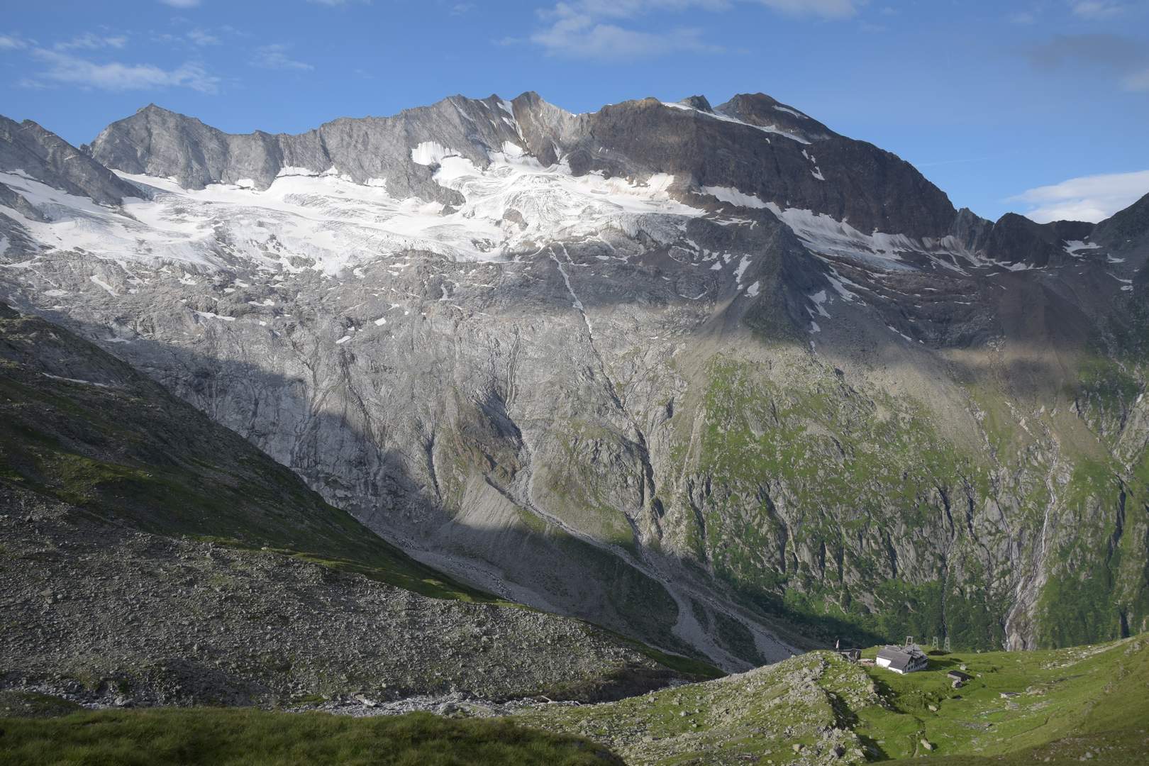
Hoher Weißzint (3371 m), Hochfeiler (3510 m) und Hochferner (3470 m)