⛶
Autoplay
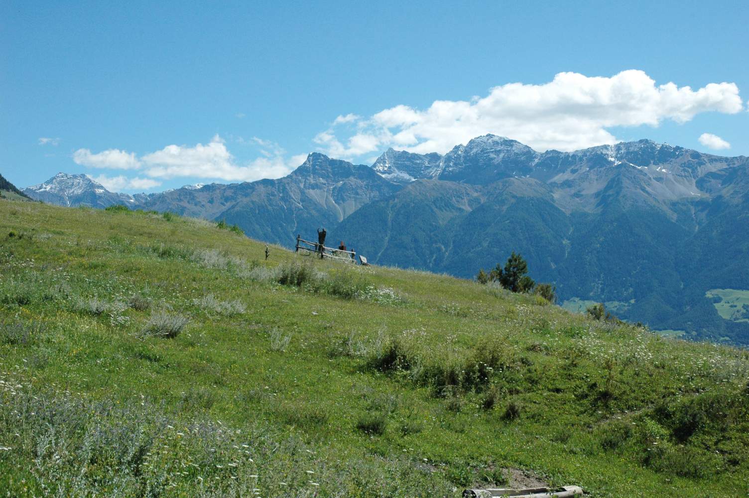
Ganz links die Orgelspitze (auch Laaser Spitze genannt, 3305 m) und mitte-rechts die Tschengelser Hochwand (3375 m).