⛶
Autoplay
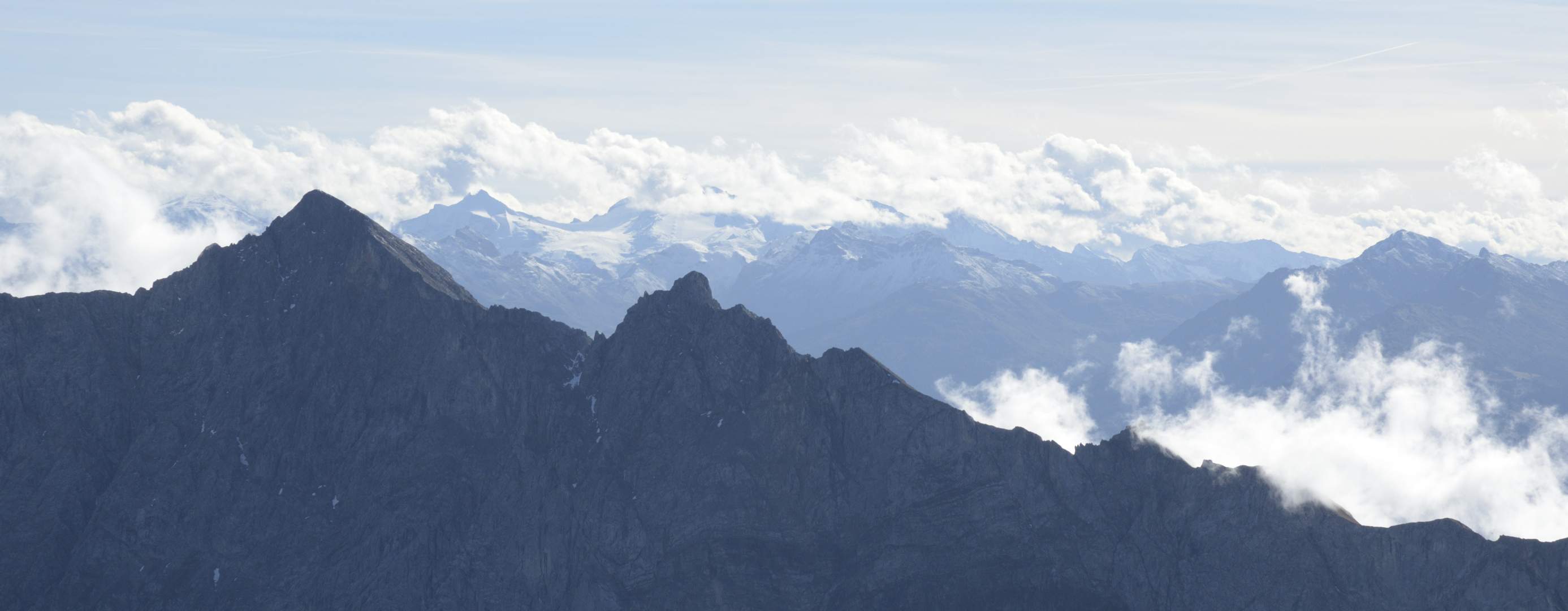
Olperer (3476 m) und Tuxer Ferner nebst Gefrohrene Wand Spitzen. Vorne links der Hochnissl (2546 m).