⛶
Autoplay
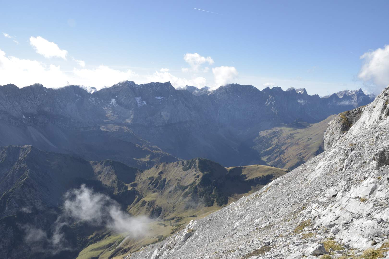
Blick auf die Hinterautal-Vomper-Kette. In der Mitte die Spritzkarspitze (2606 m), ganz rechts die Kaltwasserkarspitze (2733 m)